

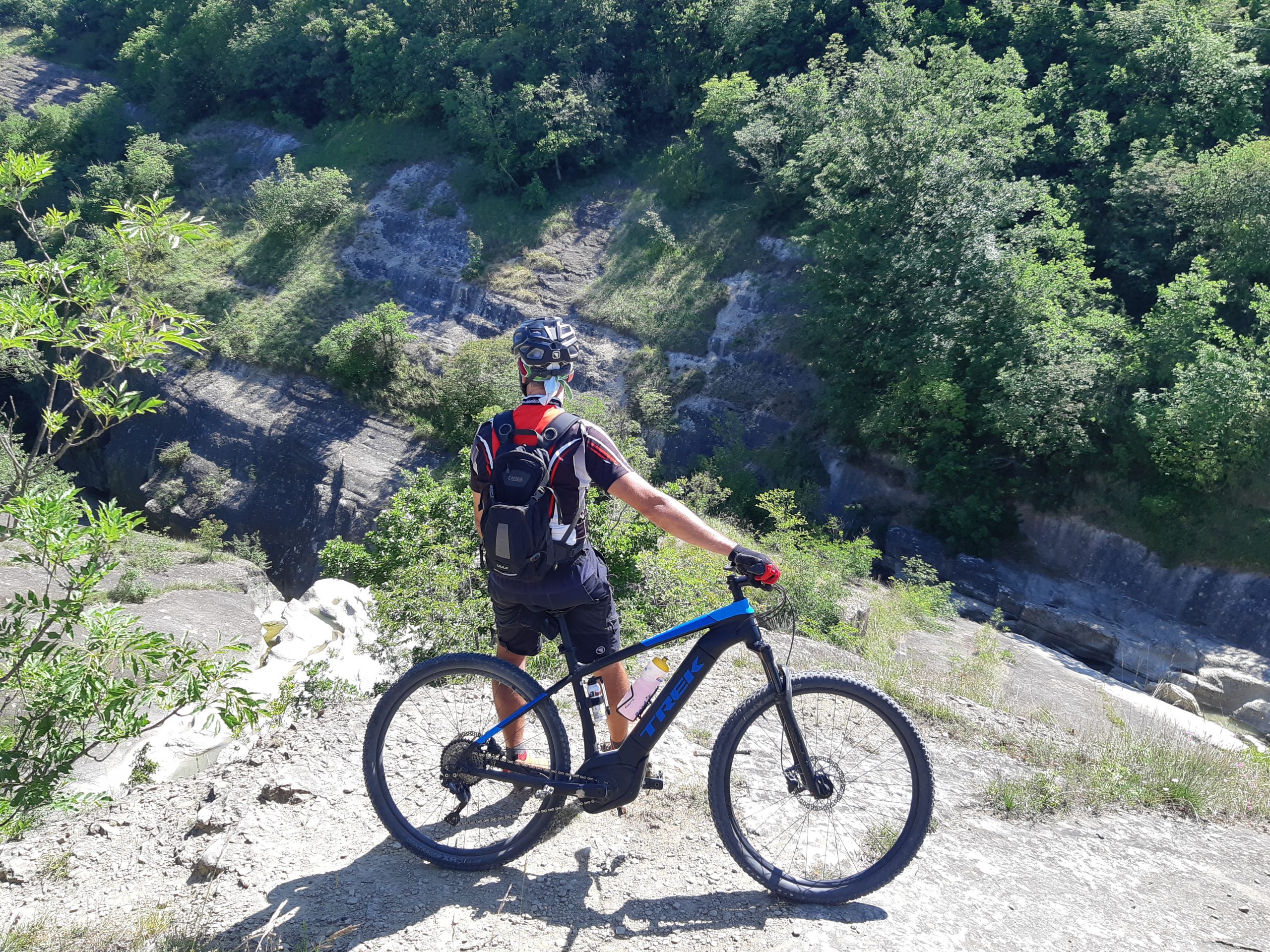
Are you a MTB/GRAVEL/E BIKE enthusiast?
We recommend downloading the map (above) where the “routes” that are not recommended because theimpervious and dangerous routes are highlighted with the BLACK COLOR.
The trail network of 156 km is made up of 16 ring itineraries, connected to each other and joining the different locations, the paths are numbered C.A.I. and mapped in Gpx in order to view them via GPS or mobile phone or directly on the special hiking maps published by Monti Editore, available online and in the economic activities of our territory.
Happy cycling!

")
")
")
")
")