.
ROADS AND NEW TRAIL NETWORK RINGS
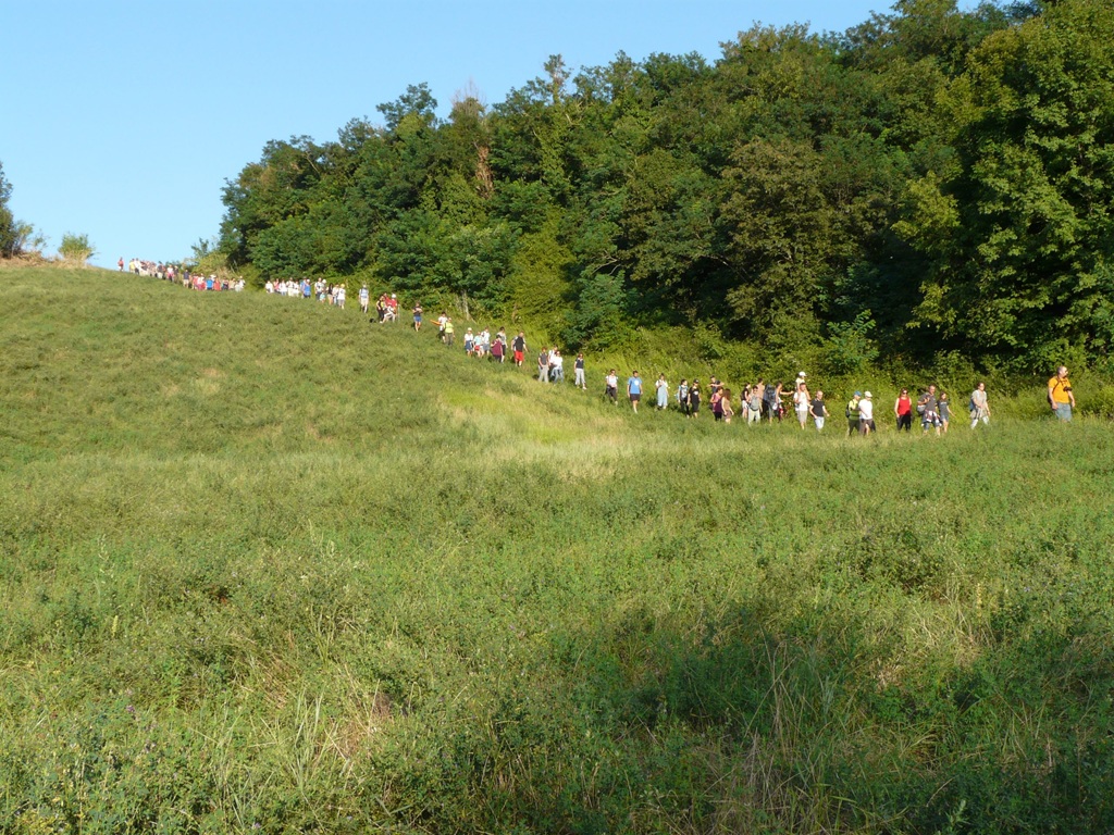
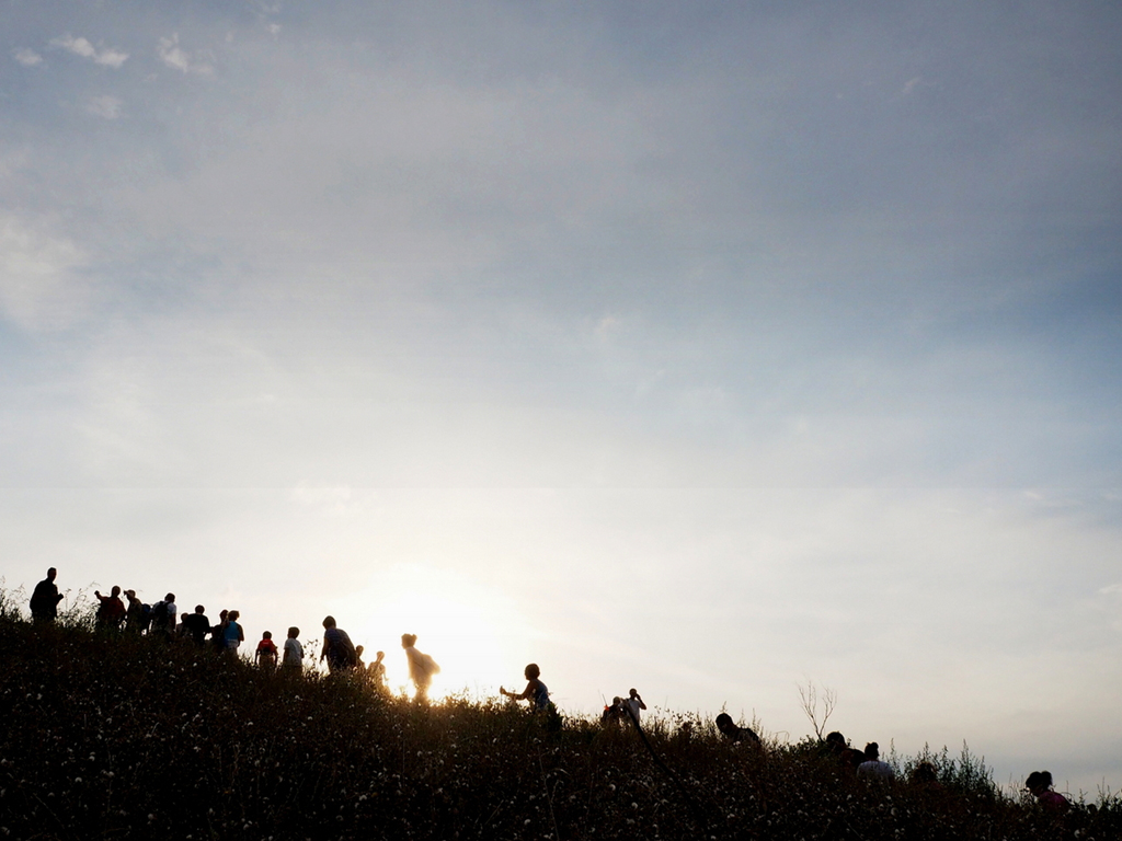
On this page you will find updated information on the viability of the “Sentieri dell’Alto Rubicone” trail network. Before venturing along our trails, we recommend checking the travel status of the individual loops and downloading maps and GPX tracks so that you can enjoy them safely!
By MTB and/or on horseback click here to view the impervious/dangerous routes.
Have a good hike!
Accessible rings excluded where indicated.
Updated on 10/03/2026
No. 1 – The Three Valleys Trail
No. 2 – The Path of Leonardo Da Vinci
No. 3 – The Melon Pass Trail
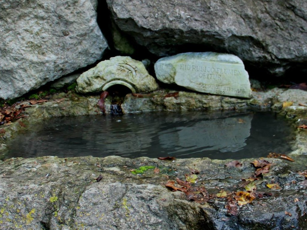
No. 4 – The Rubicon Springs Trail
No. 5 – The Farneto Trail
No. 6 – The Barbotto Trail (interrupted along path 123C for area restoration)
nr. 7 – The Saxon Trail
No. 8 – The Centennial Hazel Trail
nr. 9 – The Path of the Teglie di Montetiffi ****
nr. 10 – The path of the Marmitte dei Giganti
nr. 11 – The path of the Massa
No. 12 – The Amber Trail (interrupted along path 123C for area restoration)
Nr. 13 – The Chalk Path
Nr. 14 – The path of the first coal mine in Italy
No. 15 – The Malatesta Trail
No. 16 – The Savor Trail
A Due to the weather conditions, attributable to the winter season, it should be noted that some critical issues may occur. In particular, it is possible to find fords with water levels higher than normal, as well as small landslides or other impediments due to rainfall.
It is therefore recommended to be extremely cautious and carefully evaluate the weather conditions before hiking.
Info and reports:
Tourist Office
0541/817340 – ufficioturistico@comune.sogliano.fc.it